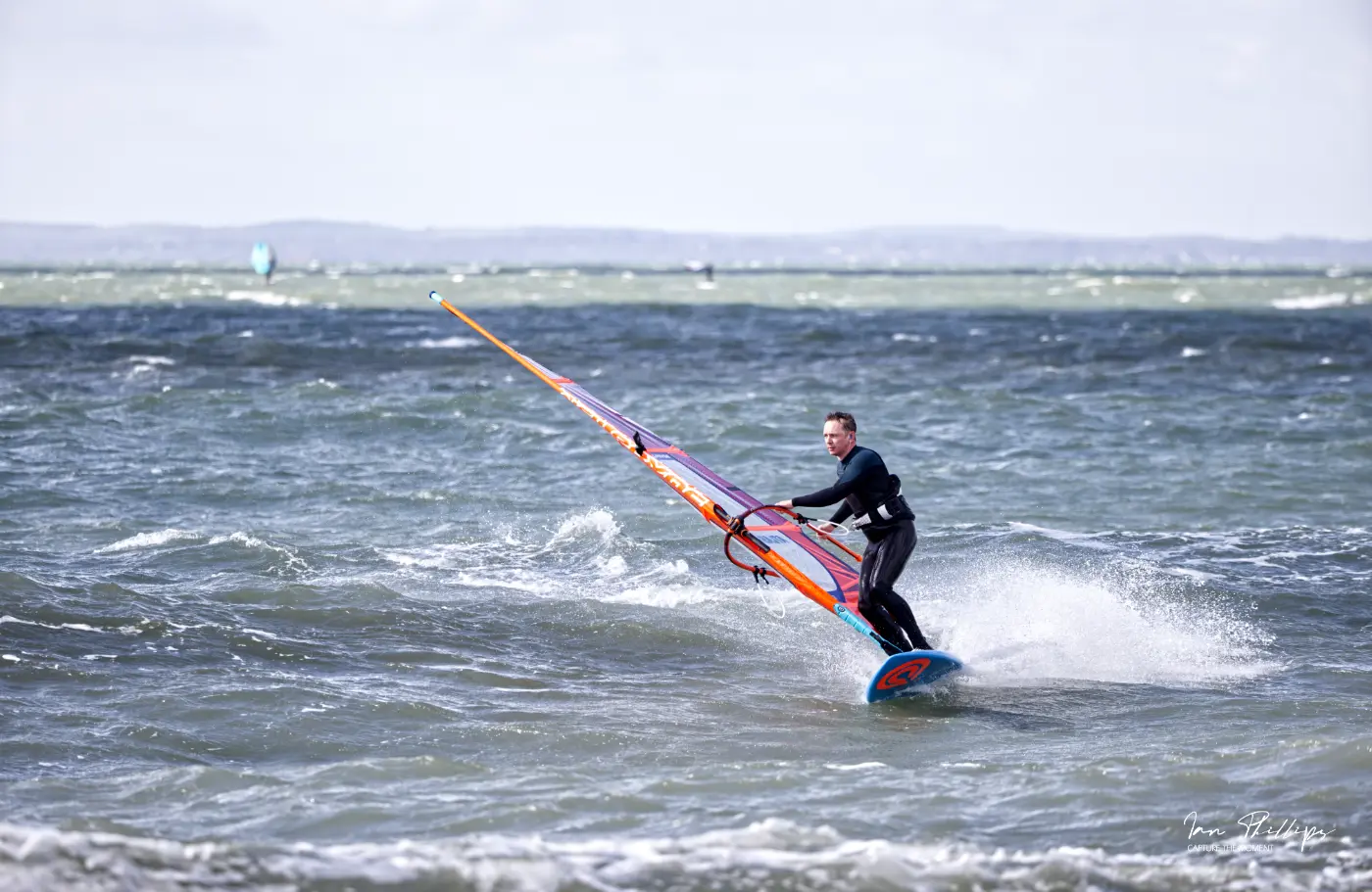
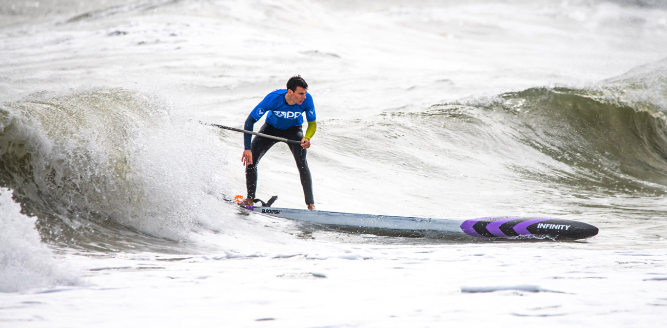
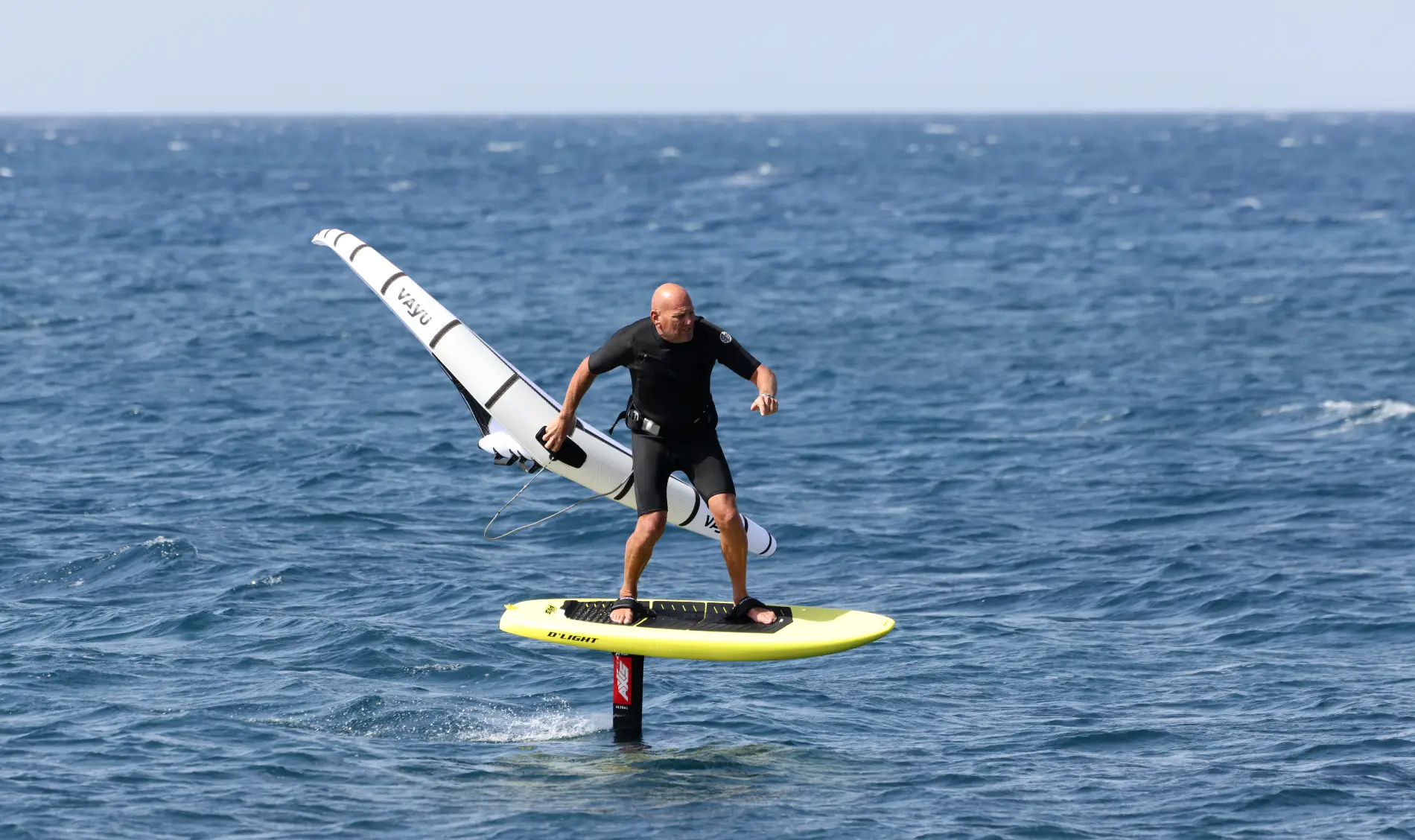
Downwind paddling in Langstone Harbour from the end of Ferry Road to Hayling Bridge is great fun when conditions are right and can produce consistent glides most of the way.
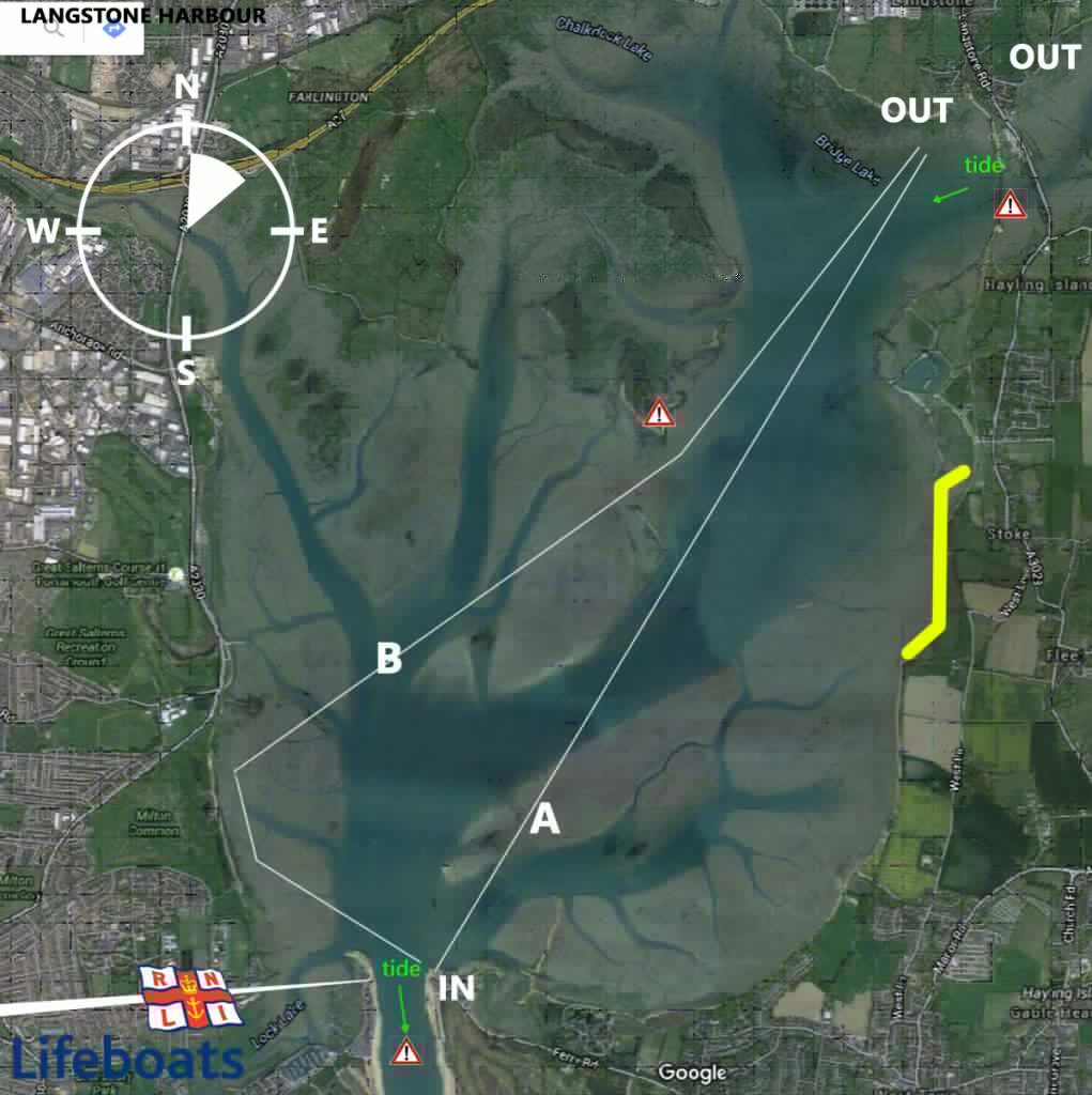
The map shows the main things to consider on this downwind run. Tide, wind direction, IN and OUT and emergency landing points.
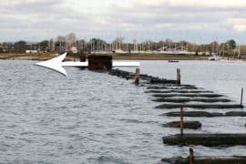 Tide is critical around Hayling as the flow can easily reach 6 knots. Chichester Harbour has two exits for the water so the first thing to understand on this run is that there is a really strong outbound flow at the OUT point by the bridge. You will also have wind against tidal flow so the water gets more choppy. You can see it on this photo.
Whilst we’re looking at this photo of the OUT section of your run note the old railway bridge footings. The only safe way to pass these is to be dead centre of the middle pillars which you can see by our arrow that also indicates tidal flow on an outbound tide. This is a very dangerous area as there are lots of obstacles, metal spikes etc. so I prefer to exit before this on the left of the bridge, (the mainland side) and then clamber up the bank.
On the map you can see the IN point. There is a car park but it is totally exposed to the sea so consider this when trying to get your boards off the roof rack and park your cars well apart in case of flying boards.
Your run should be starting at high tide or just before so there is plenty of water and no outward flow as the IN point gets a really strong pull on when the tide is going out.
Depending on the wind direction you can either jump in and get going straight for the OUT or paddle over the mouth to the Portsmouth/ west side of the harbour. This will allow you a nice clean run if the wind has more westerly in it. As the tide will be relatively still right now you will only be dealing with wind.
Route A or B see consistent glides with route B having a more mellow intro as it is protected for a while. Route A will get more immediate bumps as you will have any swell coming through the harbour entrance.
There are plenty of shallow areas so if you fall in don’t be surpised if you stand up, but this does dilute the size of the bumps a bit so the bumps will be found in the deeper channel and they run fast when it is blowing 20-25 knots.
You can see on our map a yellow line. I mentioned to a group we paddled with that if anyone was struggling and the wind was a bit more westerly they may end up in this area. Two options are you keep paddling side on and make your way to the OUT or just a long is a small area where you will probably see windsurfers at high tide. This would be a good exit point and you could leave your board in the bushes and wait on the road for one of your party to drive along and collect you , hence the need for mobile phones and walkie talkies or vhf to keep in communication.
Aside of the outgoing tide at the exit bridge this is a really good run for getting into downwind paddling, but as always keep it safe and be prepared. Make sure your friends keep an eye on each other.
